 CYPE Architecture: Software Bim gratuito
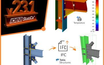
 IDEA StatiCa Steel: Steel connections & joints
 IDEA BIM: BIM structural software
 ZWCAD: 2D and 3D POWERFUL CAD
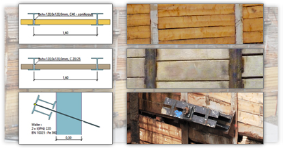
 PREF: Prestressed beams
 IDEA Detail: Details in reinforced concrete
 FIN EC: Structural Design Software
 AGACAD: Bim solutions for Revit® professionals
 IDEA StatiCa Concrete: Reinforced concrete design
 IDEA Prestressing: Calculation precast elements
 Tools for ZWCAD: Strumenti per la produttività
 EurocodeExpress: Eurocodes Calculation
 BETONexpress: Reinforced Concrete
 WOODexpress: TIMBER structures
 STEELexpress: Calculation of STEEL elements
 STEELPortalFrame EC3: STEEL Portal Frames Calculation
 SteelSectionsEC3: Design tables for Steel Sections
 3DMacro: Masonry calculation
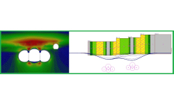
 Histra Arches and Vaults: Historical Structures Analysis
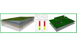
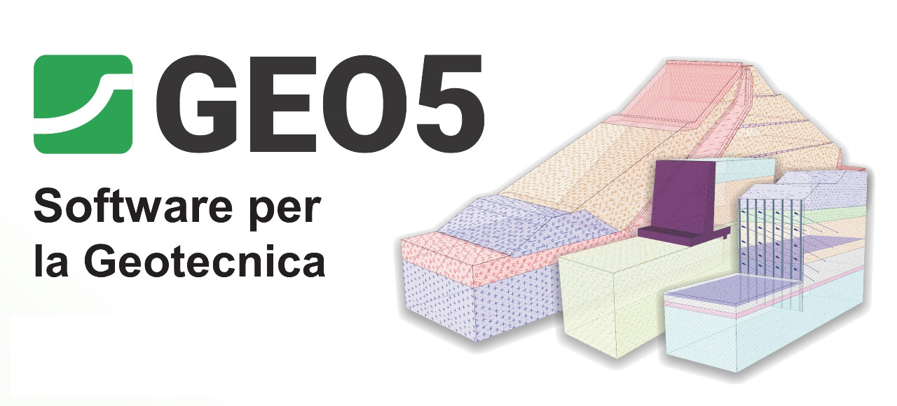
 GEO5
GEO5
 Geotechnical Software
GEO5 is an intuitive software suite designed to solve a wide range of geotechnical engineering problems in a user-friendly graphical environment.
Software features
- User-friendly graphical environment
- BIM support (IFC, LandXML export)
- Comprehensive text and graphical output for all analyses
- Supports a large number of standards
- Combination of Analytical and Numerical Methods
- Easy interchange of data between programs

GEO5 SOFTWARE
Solutions for Most Geotechnical Tasks
GEO5 is designed to solve most geotechnical tasks, from the basic ones (verification of foundations, walls, slope stability), up to highly specialized programs (analysis of tunnels, building damage due to tunneling, rock stability). Each GEO5 program solves definite structure type, so the customer can only select those he needs.
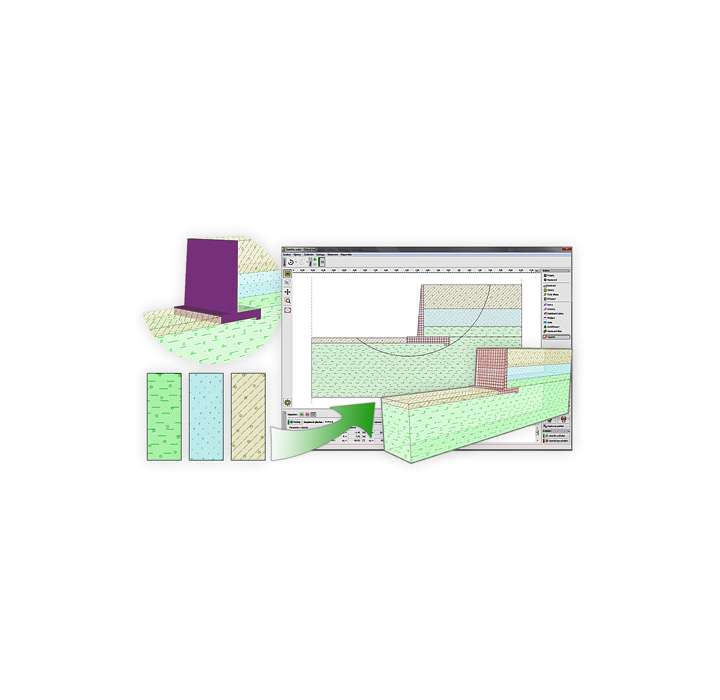
User-Friendly Interface
GEO5 is composed of individual programs with unified user interface, which is easy to use and does not require any special training..
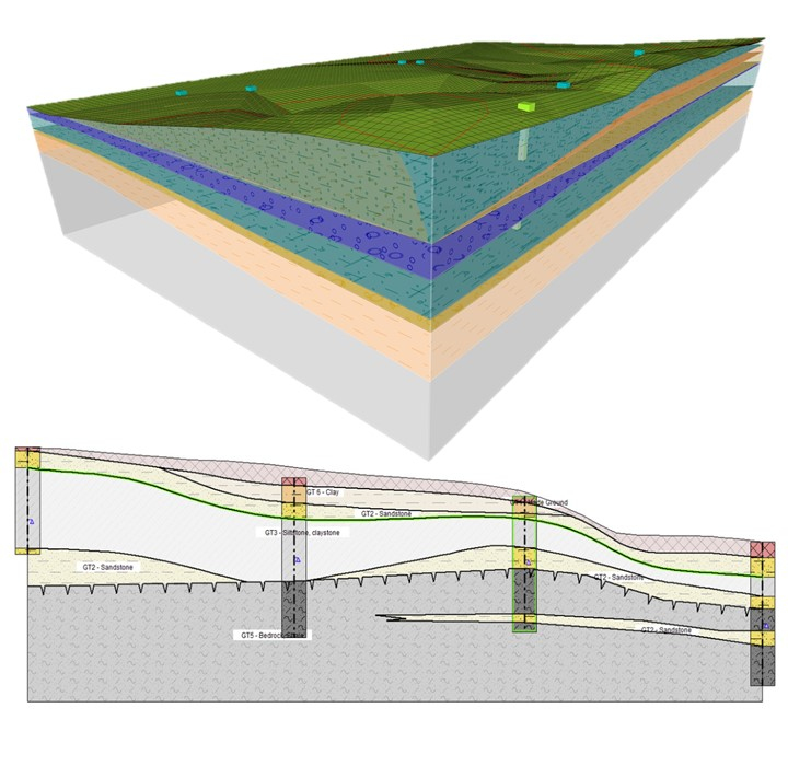
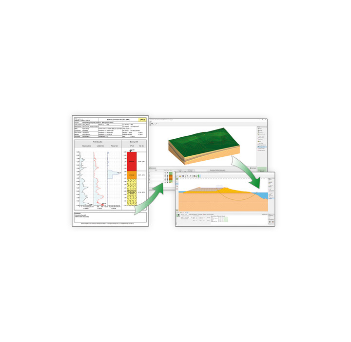
From the Geological Survey to the Advanced Design
GEO5 is a comprehensive software suite that integrates geological data modeling with the solutions of all advanced geotechnical tasks.
Combination of Analytical Methods and FEM
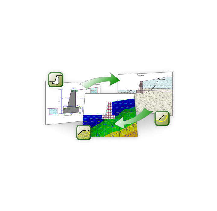
Analytical verification methods provide effective and rapid structure design and verification. It is possible to transfer the analytical model into the FEM program, where the structure is verified by the finite element method. Comparison of two independent solutions contributes to increasing the safety and objectivity..
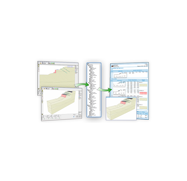
Programs Linked Together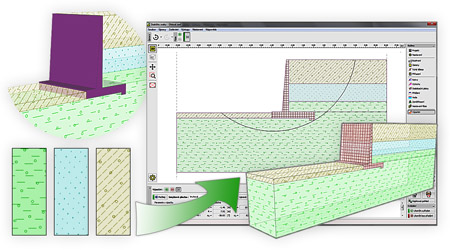
It is possible to transfer data between individual programs using Geoclipboard™, and several programs enable transfer of the whole structure for further analysis.
BIM Support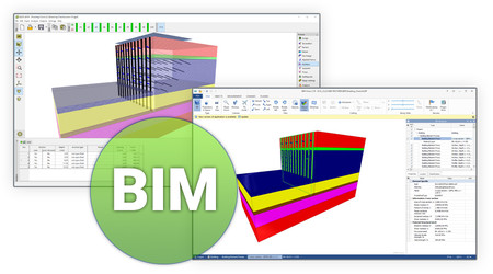
Our programs allow you to export to both IFC and LandXML common BIM formats for the use in third-party programs. Export keeps all elements description, soil parameters, and other object properties..
Supporting Many Standards
Geotechnical methods applied in GEO5 software are used all around the world. GEO5 adopts a unique system of implementing standards and partial factors, which are separate from the structure input. GEO5 has a database of standards, however it is possible to create own settings.
Comprehensive Outputs
GEO5 programs generate clear text and graphical outputs that can be easily edited according to needs of the user (add company logo, insert images). Created images are always up to date, according to latest data. Outputs can be printed directly from the program, saved as PDF or exported to external text editor (MS Word).
Nuova Edizione GEO5 2021
![]()
GEO5 Edizione 2021 - Allegati e Nuovi Moduli
La nuova edizione introduce una nuova funzionalità "Allegati" in tutti i programmi, due Nuovi Moduli (Stratigrafia - Movimento Terra, FEM - Azione sismica) e molti altri miglioramenti
 Nuovi Allegati in tutti i programmi GEO5
Allegati è un nuovo strumento, che consente di inserire testi, file PDF, importare e modificare le immagini e includerli nella relazione. Gli allegati importati vengono memorizzati nei dati del programma.
Guarda il Video: inserire Allegati in tutti i programmi GEO5
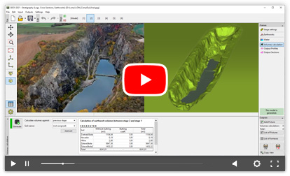 Stratigrafia - Movimento Terra
Il nuovo modulo Movimento Terra introduce le fasi di costruzione nel programma Stratigrafia. Permette di modellare scavi per fondazioni, strade, ferrovie, cave, scarpate e permette di calcolare i volumi di movimento terra (scavi/riporti).
Guarda il Video: utilizzo del modulo Movimento Terra
 FEM - Azione Sismica
Il nuovo modulo Azione Sismica esegue l'analisi dinamica di strutture soggette a movimento del terreno determinato dal sisma.
Nuove funzioni nei programmi GEO5
 Stratigrafia | Sistema di Coordinate - Sono implementati più di 6000 sistemi di coordinate. Queste coordinate possono essere convertite in GPS e visualizzate su Google Maps.
 Verifica Paratie | Soldier pile - E' ora possibile eseguire la progettazione di collegamenti orizzontali in legname o cemento e pali in acciaio o cemento.
Stratigrafia | Importazione/Esportazione dati - Esportazione e importazione di dati di prove in situ in XML, XLS e altri formati. I dati possono essere caricati nei modelli.
 Tutti i programmi | Importazione/Esportazione DXF, DWG - Nuova opzione per l'importazione di file DWG. Opzioni avanzate per importazione/esportazione di DXF.
 Stabilità dei Pendii | Carico Acqua - È ora possibile inserire il carico dell'acqua sopra il terreno, che consente di modellare ad esempio serbatoi d'acqua e vasche.
 Cedimenti | Grafico della consolidazione - Grafico della consolidazione migliorato nel programma Cedimenti.
 Muri Prefabbricati | Forme generiche dei blocchi - Le forme generiche dei blocchi possono essere definite dalla funzione unione.
Prova tutte le nuove funzioni con la Demo
Vuoi aggiornare la tua vecchia versione? Contattaci per un preventivo personalizzato...
Visita la pagina dedicata alle Nuove Versioni e Aggiornamenti per conoscere altre news:
08/06/2020 | GEO5 2020 | Spring Update
25/03/2020 | COVID-19: Licenze aggiuntive per poter lavorare da casa

With program packages you can save up to 45 % of program prices. Also you can purchase your missing programs within the package with a package discount.
Per iniziare...
Guarda il breve video per ottimizzare l'utilizzo di tutti i software GEO5: una breve introduzione dell'interfaccia utente dei programmi GEO5.
Attiva i sottotitoli in italiano
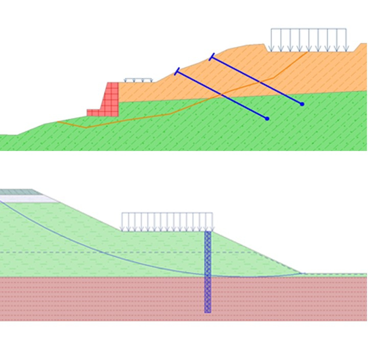
Stabilità dei Pendii
Il seguente video tutorial mostra come inserire e analizzare facilmente una pendio e come inserire opere di stabilizzazione:
 Progetto Paratie Verifica Paratie
Il seguente video mostra come progettare rapidamente una paratia non ancorata utilizzando il programma “Progetto Paratie”:
Tutorial che mostra come modellare un diaframma in cemento armato con tiranti di ancoraggio nel programma “Verifica Paratie”:

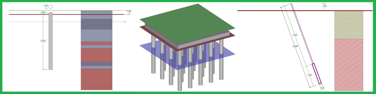
 Fondazioni Superficiali
Il seguente video tutorial mostra come progettare fondazioni superficiali che devono sostenere carichi eccentrici e/o inclinati e quindi calcolarne la capacità portante:

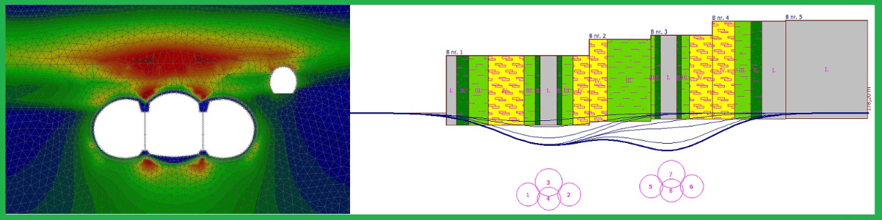
 Pali CPT
Il tutorial mostra come calcolare la capacità portante di una palo usando la prova penetrometrica statica (CPT):


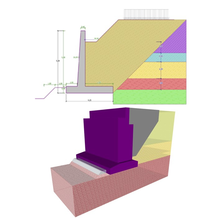
 Muri di Sostegno
ll seguente video mostra come modellare e analizzare una struttura di sostegno:
- verifica al ribaltamento
- verifica allo scorrimento
- calcolo capacità portante
- dimensionamento sezioni e armatura
- stabilità globale

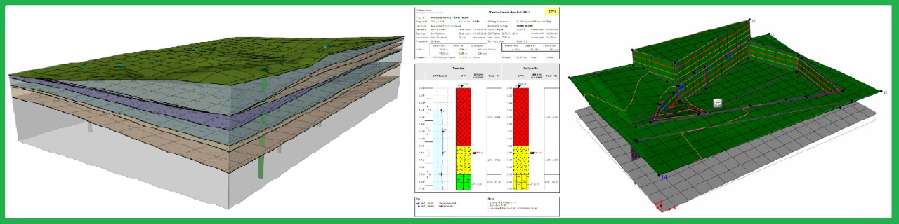
Stratigrafia
Il seguente video tutorial mostra come lavorare con il modulo Registro del programma GEO5 Stratigrafia.
Il modulo Stratigrafia - Registro è usato per registrare dati di indagini in sito (perforazioni di sondaggio, SPT, CPT, DMT ed altro).:
.jpg)
Attiva i sottotitoli in italiano
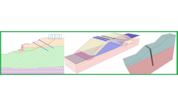
Il seguente video tutorial mostra come mostra come usare il modulo Sezioni Geologiche del programma GEO5 Stratigrafia.
Crea sezioni geologiche senza la necessità di modificarle ulteriormente nei programmi CAD.
Attiva i sottotitoli in italiano
Il seguente video tutorial mostra come lavorare con il modulo Movimento Terra del programma GEO5 Stratigrafia.
Il modulo Stratigrafia - Movimento Terra è progettato per la modellazione di scavi di fondazione, strade, ferrovie, cave e e per il calcolo dei volumi di sterro:
Attiva i sottotitoli in italiano
Fine Maintenance support program guarantees you the following advantages:
- Free upgrades and updates of the purchased software
- 10% discount on new software purchases
- Programs newly added to the package for free
- Engineering assistance provided by distinguished experts
- Priority technical support via telephone hotline or email
GEO5 FREE Download
Please fill in the form below and we will send you an email with the link to download the FREE version of the software and all the instructions to the email address you entered.
Information request
Please fill in the following form, our staff will answer as soon as possible to the email address you entered.
News, events and promotions

IDEA StatiCa festeggia i suoi 10 anni di CBFEM e dal rilascio di IDEA Connection!
UN DECENNIO DEDICATO ALLA PROGETTAZIONE AVANZATA DELLE CONNESSIONI Festeggia con noi i 10 anni di progettazione delle connessioni con IDEA StatiCa e…

IDEA StatiCa festeggia i suoi 10 anni e rilascia la nuova v24.0
E' stata uscita la nuova versione 24.0 di IDEA StatiCa. Festeggiamo i 10 anni dal rilascio del metodo CBFEM e di IDEA StatiCa Connection e…
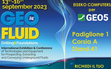
GEOFLUID 2023 | 13-16 SETTEMBRE - PIACENZA
Saremo presenti al GEOFLUID 2023 di PIACENZA dal 13 al 16 Settembre. Padiglione 1 - Corsia A - STAND 41 Geofluid è la più…